Sector-Specific
Applications
The principles of spatial analysis are universal, but their application is not. We have deep domain expertise in applying our skills to meet the unique demands of these industries.
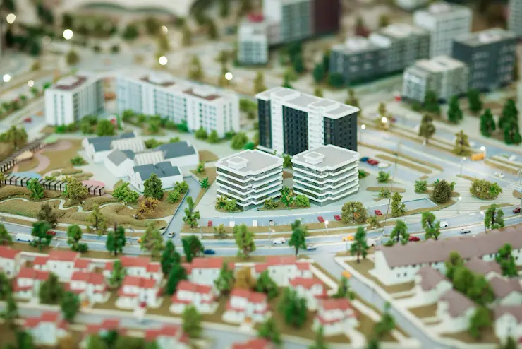
Urban & Smart City Planning
Land use zoning, infrastructure management, utility mapping, and traffic flow analysis.
Agriculture & Forestry
Precision agriculture, crop yield prediction, forest inventory management, and carbon sequestration monitoring.
Environmental Management
Climate change impact studies, biodiversity and habitat mapping, water resource management, and pollution tracking.
Disaster Risk Management
Flood modeling, wildfire risk assessment, post-disaster damage delineation, and emergency response planning.
Oil & Gas
Pipeline route optimization, exploration targeting, environmental impact assessments, and lease block management.
Transportation & Logistics
Optimal route planning, fleet tracking, site selection for new facilities, and market analysis.
Enterprise Drone Services
Building Information Management, Infrastructure Inspection, Aerial Photography and Mapping, Topographic Survey, Urban Mapping, Precision Agriculture
