Skip to content Skip to footer

Transforming Data into Spatial Intelligence.

Harness the power of Earth observation and geographic insights to drive smarter decisions, optimize operations, and build a sustainable future.

Our Expertise

We offer end-to-end solutions, from data acquisition and processing to advanced spatial analysis and custom application development.

Remote Sensing & Image Analysis

Extract meaningful information from satellite and aerial sensors.

GIS Analysis & Modeling

Solve spatial problems with advanced geostatistical and modeling techniques.

Custom Web GIS Development

Interactive, user-friendly maps and dashboards for your team.

Spatial Data Management

Robust systems to manage, share, and utilize your spatial data effectively.

Previous Clients

Featured projects

Check out our curated internal projects on various industry-based GIS projects

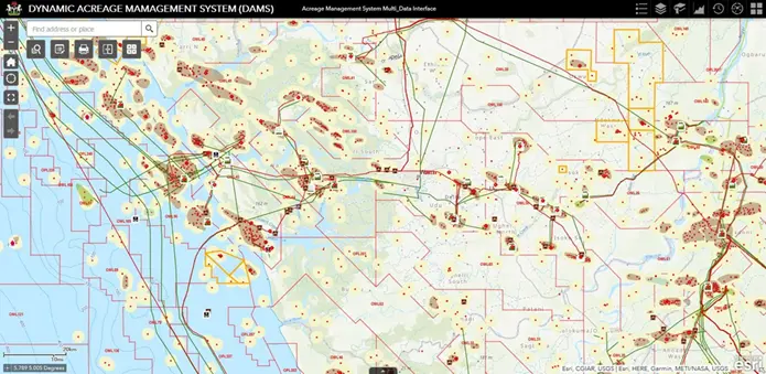
Design and Implementation of Oil and Gas Dynamic Acreage Management System (DAMS)
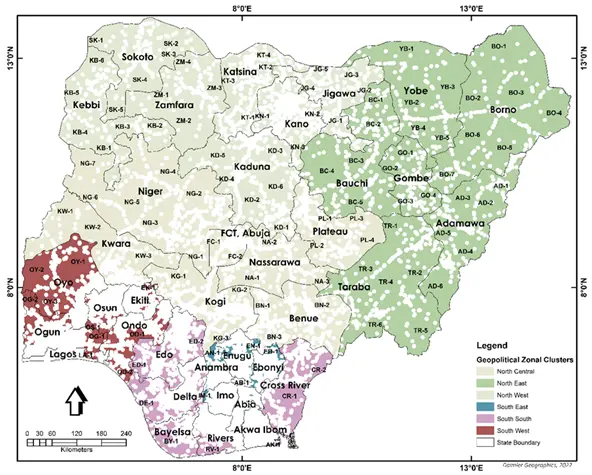
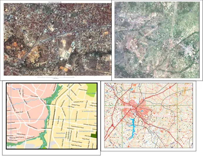
Consultancy for the Update of the USPF Access Gap Clusters at various locations across the Federation
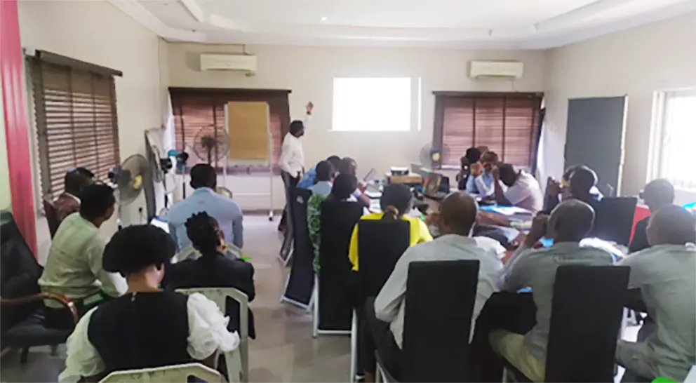
Scene Setter GIS Training for Selected Staff of Ogun State Bureau of Lands, Ministry of Works, Housing and Ministry of Urban and Physical Planning
Urban Digital Image Mapping of Kwara State